MyCoast
 OVERVIEW
Washington MyCoast started as a project of the Snohomish Marine Resources Committee to engage beachgoers and provide a way to share information about local conditions with decision-makers and stakeholders.
MyCoast expanded statewide as a partnership with Washington Department of Natural Resources, in collaboration with other project partners, including US Geological Survey, Washington Sea Grant, Marine Resources Committees, and the Northwest Straits Initiative.
WHAT WE'RE DOING
Information collected is used to characterize the impact of nearshore hazards and to enhance awareness among decision-makers and stakeholders.
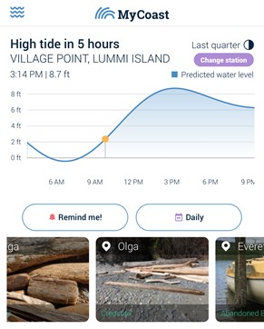
Users anywhere on the shoreline in Washington can now report using one of the tools currently activated. A few of the survey tools are best used after receiving a brief training from project partners, while other reports can easily be submitted by a casual beachgoer.
Incident reports
- Creosote – Documenting creosote-treated debris
- Large marine debris – Capturing large marine debris
- Abandoned boat – Documenting forgotten vessels
Survey tools
- King tide – Tracking the highest tides
- Storm surge – Collecting surge data
- Bluff reporter – Monitoring bluffs
- Molt search - Early detection surveys for European green crab
HOW TO JOIN
![]()
Install the mobile app through the iPhone app store or Google play for Android.
MORE INFORMATION
-
MyCoast website
Browse reports submitted by other MyCoast users throughout the region.
View the Project Details »
-
MyCoast fact sheet
Printable information about the MyCoast app to share with others.
View the Project Details »